Published : 2023-10-15
When it comes to grand canyons, many people think of the Grand Canyon of the Colorado in the United States.
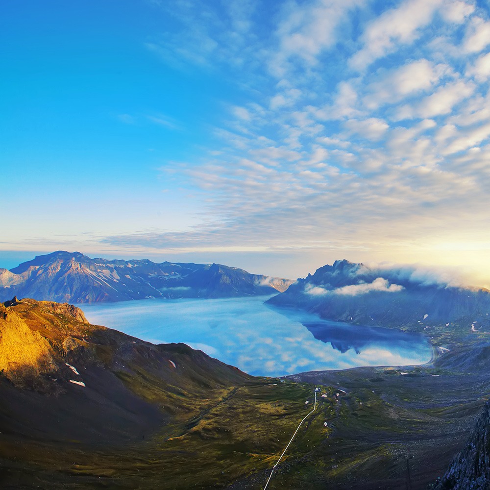
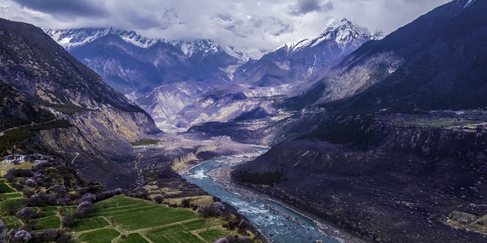
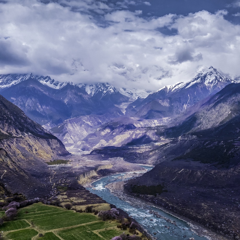
However, the deepest canyon in the world is actually in Tibet, China. The Yarlung Zangbo River, which flows through Linzhi, Tibet, runs through the winding peaks and valleys, creating the deepest canyon in the world, the Yarlung Zangbo Grand Canyon: with a drop of more than 6,000 meters at its deepest point, fast-flowing streams and walls, and glaciers and rainforests.
Many areas remain unexplored to this day, earning it the title of the "last secret land of mankind".
The Yarlung Zangbo Grand Canyon - deepest point over 6,000 meters
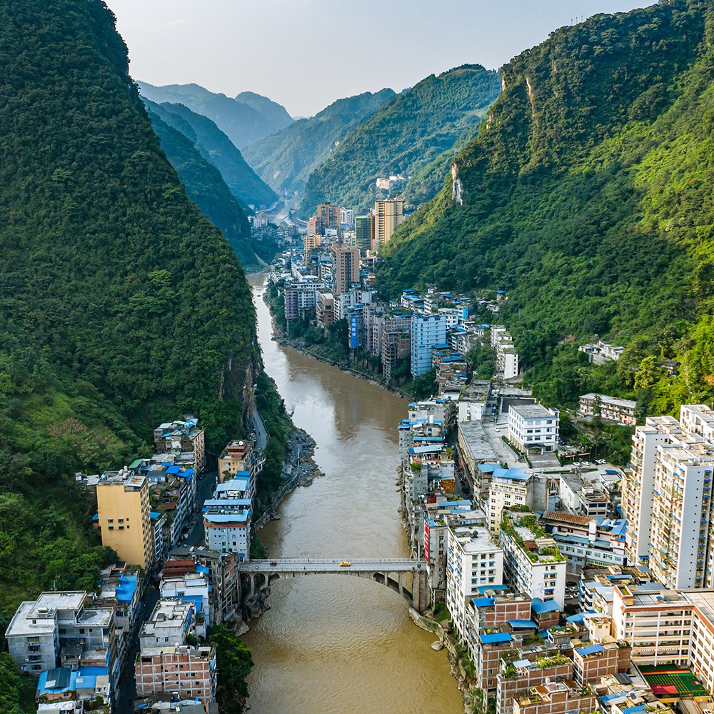
The Yarlung Zangbo River means "snow water flowing down from the mountains" in Tibetan. The river originates from the northern foothills of the Himalayas, with a total length of 2,057 kilometers, traversing Tibet from west to east, and finally flows into India, after swirling around the towering Mount Namjagbarwa in Miling County and Mutuo County of Linzhi.

For hundreds of millions of years, the river and mountain movements have created the world's deepest Yarlung Tsangpo Canyon: 504.6 kilometers in length, with a drop of 6,009 meters at its deepest point, far exceeding that of the Grand Canyon of the Colorado in the United States, which is approximately 2,000 meters deep at its deepest point.

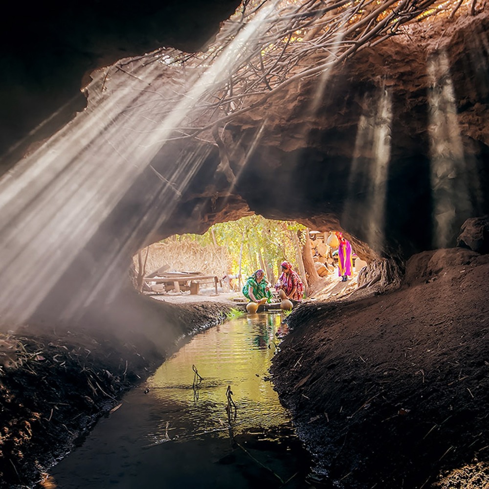
This unparalleled depth encompasses nine vertical natural zones, from the alpine snow and ice to the tropical rainforests, creating the largest water vapor channel on the Qinghai-Tibet Plateau. This gives southeastern Tibet the title of "the Jiangnan of Tibet," and also makes it a "gene bank for species" and a "plant museum" in the eyes of scientists.

The Yarlung Zangbo Grand Canyon stretches across nine climate natural zones
The Grand Canyon is home to two-thirds of the known species of higher plants on the Qinghai-Tibet Plateau, 50% of the known mammal species, 80% of the known insects, and 60% of the known macrofungi, including many ancient and rare species. The research found that 6 species of wild felines exist there, namely, golden cats, Bengal tigers, clouded leopards, golden leopards, snow leopards and leopard cats. It has the most complete population of golden cats in terms of color variation, hence it is also known as the "Valley of Cats".

Read more: Unveiling 12 Types of "Cats" in China
Because of the dangerous terrain, this canyon remained unknown to the world for a long time. Until 1994, Chinese scientists confirmed that this is the world's deepest canyon, after more than 20 years of field investigations and scientific evidence. This discovery is considered one of the most important geographical discoveries of the 20th century.

Yarlung Zangbo Grand Canyon - Got its name only in 1998?
In October 1998, the State Council of China named the canyon as the Yarlung Zangbo Grand Canyon. From October to December of the same year, 57 members of the survey team spent over 40 days making the first human on-foot crossing of the Grand Canyon. For the first time, they used satellites for precise mapping of the Grand Canyon, confirming the existence of four large waterfall groups in the unexplored area of the river bed.

These four major waterfall groups imply more than two thirds of the hydro power resources of the Yarlung Zangbo River, with an average natural hydropower resource of 138,600 kilowatts per kilometer, leading amongst similar large rivers in the world.
The investigation and development of the Grand Canyon is still ongoing, but above all, preserving this "secret land of the earth" is essential.

In 2000, the former Motuo National Nature Reserve was approved to expand its area and renamed the Yarlung Zangbo Grand Canyon National Nature Reserve, with a total area of over 9,100 square kilometers, about the size of eight Hong Kong. It includes ecosystems, species resources, canyon landscapes, and water vapor corridors in the scope of protection.
Among these areas, the core area, which covers an area of about 3,200 square kilometers, and the buffer zone of about 370 square kilometers, are prohibited to carry out any production and operation activities, including tourism.